Parks and Wild Places
Preikestolen
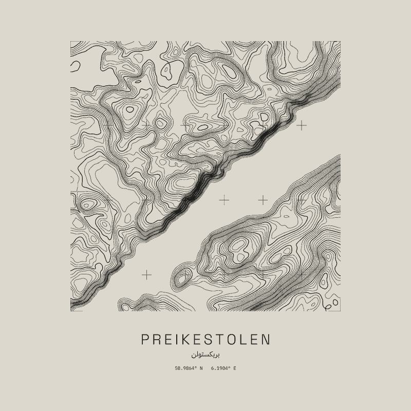
Preikestolen, Norway: the land in and around it, drawn as contour lines every 20 m from Copernicus 30 m elevation data, with survey grid crosses every 0.02° of latitude and longitude.
58.9864° N 6.1904° E
17 pieces
-

Preikestolen Organic Oversized Tee
72 USD
-

Preikestolen Heavyweight Organic Tee
67 USD
-

Preikestolen Contour Plate Tee
59 USD
-

Preikestolen Full Relief Faded Tee
72 USD
-

Preikestolen Relaxed Hoodie
115 USD
-

Preikestolen French Terry Hoodie
115 USD
-

Preikestolen Garment-Dyed Crewneck
101 USD
-

Preikestolen French Terry Raglan Crewneck
101 USD
-

Preikestolen Contour Print
From 46 USD
-

Preikestolen Framed Contour Print
From 91 USD
-

Preikestolen Contour Seal Dad Hat
59 USD
-

Preikestolen Contour Seal 6-Panel Cap
48 USD
-

Preikestolen Contour Seal EcoWash Dad Hat
59 USD
-

Preikestolen Contour Seal Sunwashed Cap
59 USD
-

Preikestolen Contour Seal Corduroy Cap
59 USD
-

Preikestolen Contour Seal Bucket Hat
62 USD
-

Preikestolen Contour Seal Beanie
54 USD