The story
A place, drawn from the ground itself.
Topos is Greek for place. Topos by miniblank draws real places, summits, volcanoes, parks and cities, as contour lines from real elevation data, prints them on tees, hoodies, crewnecks and prints, and embroiders them as a seal on hats.
The data.
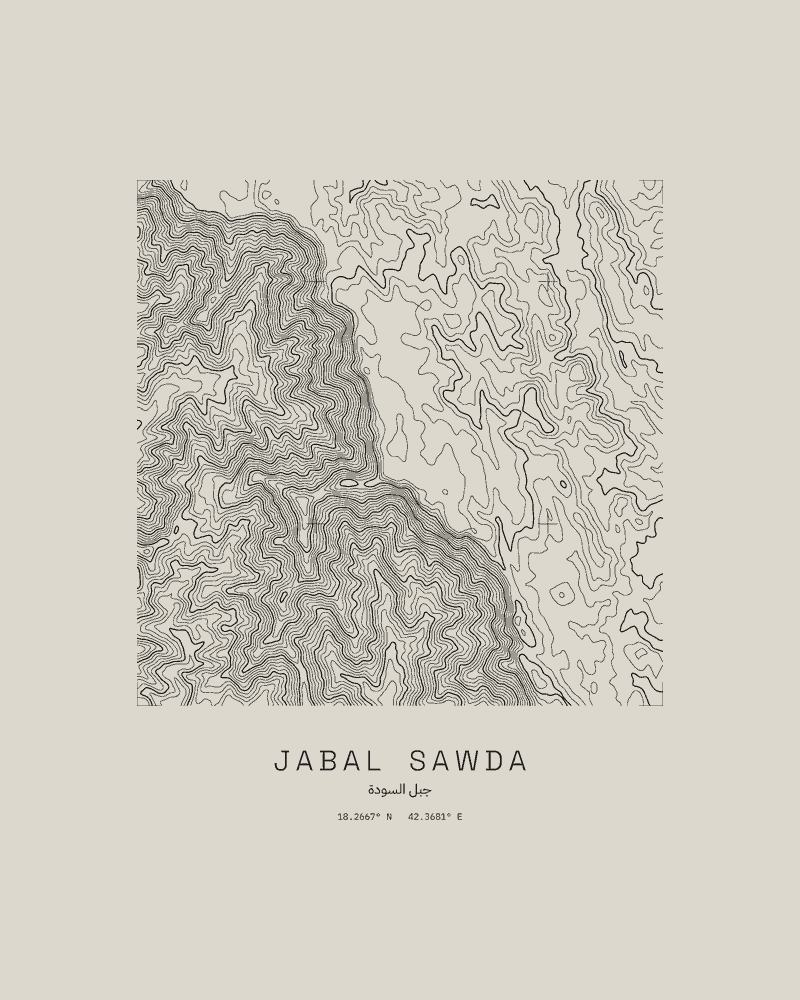
Every drawing starts from the Copernicus 30 m digital elevation model (GLO-30), made from satellite radar. We take the square of ground around the place and draw its height as a line at each fixed step: every 100 m on the highest peaks, every metre on flat ground. A + marks the survey grid every 0.05° of latitude and longitude.
Nothing is traced from a map and nothing is added that is not in the data. Under each drawing are the place’s name in English and Arabic, and its coordinates.
43 places.
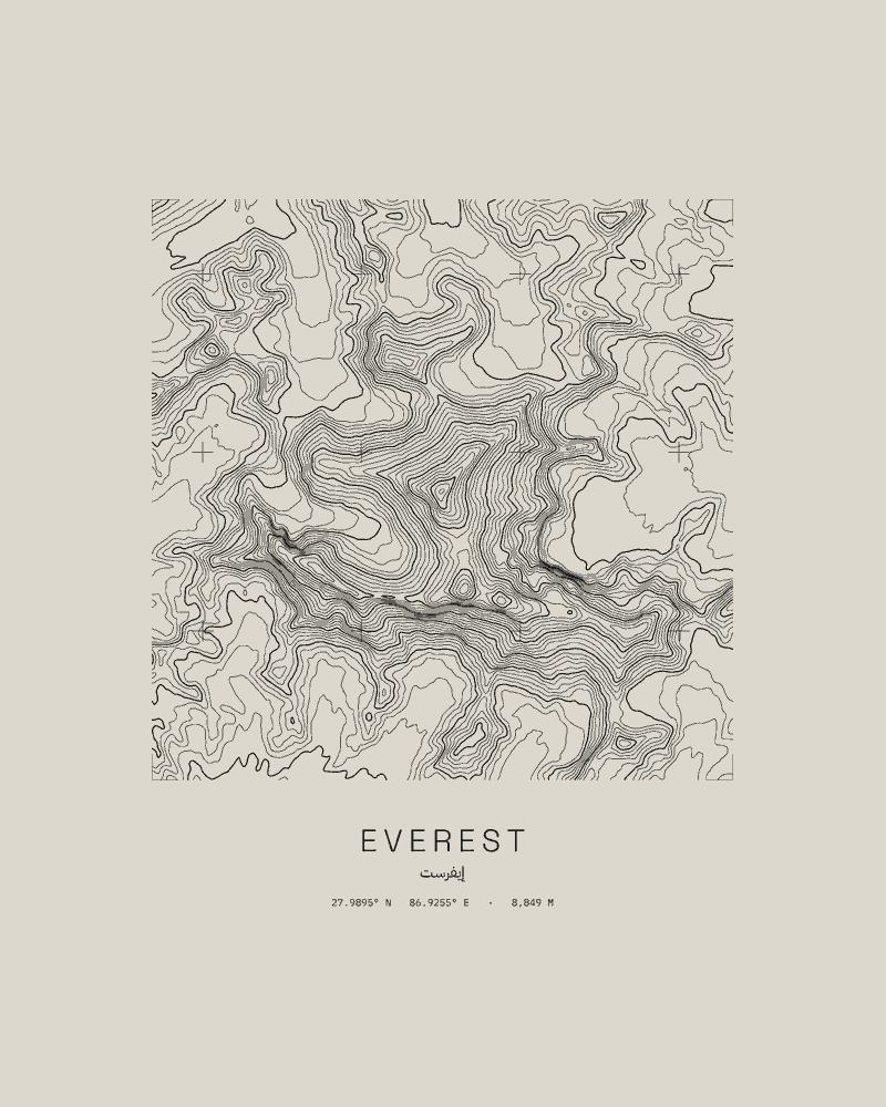
In five lines: the Arab world, the summits, the volcanoes, the parks and wild places, and the cities. Each place has its own page, and each of 13 countries has its places on one. Every place, or by country.
They are drawings to wear and hang, not maps to find your way by. No park, government body, agency or programme made them or stands behind them.
Made to order.
No stock. Your piece is printed or embroidered after you order by a production partner and shipped straight to you, and checkout shows the estimated delivery dates for your address. Shipping is free and tracked to 75 countries, including the United States, Canada, Australia, New Zealand, Singapore, Saudi Arabia, the UAE, Qatar, Nigeria, Kenya, India and Pakistan.
Elevation data: produced using Copernicus WorldDEM-30 © DLR e.V. 2010-2014 and © Airbus Defence and Space GmbH 2014-2018 provided under COPERNICUS by the European Union and ESA; all rights reserved.
Topos by miniblank. hello@miniblank.com